Enhancing institutional capacity of public authorities and stakeholders and efficient public administration.

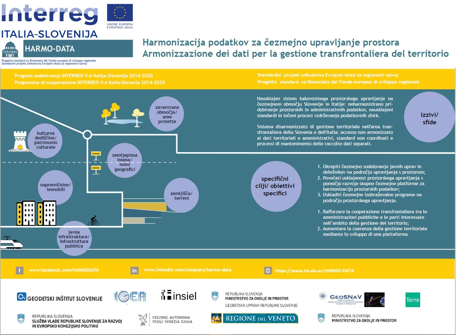
The project’s main objective was to improve the capacity for institutional cooperation, with the mobilisation of the public authorities and key territorial planning operators, in order to create joint solutions aimed at harmonising the systems and more effectively managing the cross-border area, above all through a cross-border platform for the harmonisation of the territorial data.
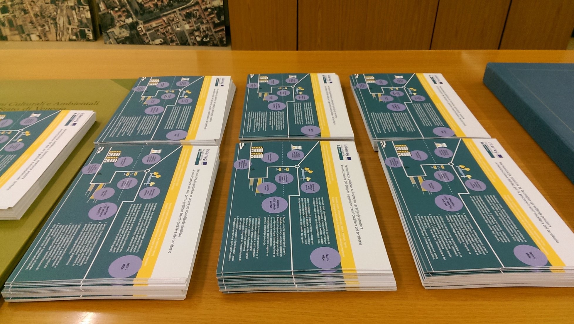
The objective of Work Package 1 is to prepare and sign a Cross-Border Spatial Governance Protocol, which will serve as a basis for the development of a common cross-border spatial platform for the harmonisation of spatial data in the cross-border area. The Protocol will also allow for the sustainable operation of the cross-border spatial infrastructure and the provision of harmonised spatial data beyond the end of the project. It will also define the responsibilities of the institutions in the provision of the technical infrastructure and components of the cross-border spatial platform after the end of the project.
The objective of Work Package 2 is to develop a cross-border spatial platform with harmonised data and services that enable the search, retrieval and transfer of spatial data for use in business processes. The basic premise of the project is to avoid the construction of a separate or completely new platform that would be created solely for the sake of the project. To ensure sustainability, it makes more sense to use existing spatial platforms that can already provide, in part, INSPIRE-compliant information services. A key advantage of such an approach is that it will use components on both sides and will thus be able to provide solutions to which existing users are already accustomed, as the services mentioned above allow the use of harmonised data, so that data from the other side of the border can also be accessed through the platforms on both sides.
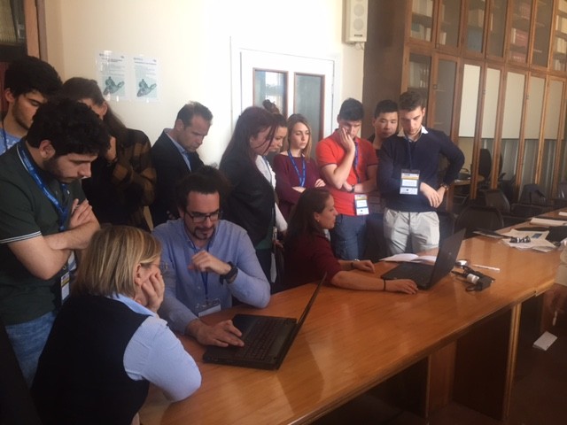
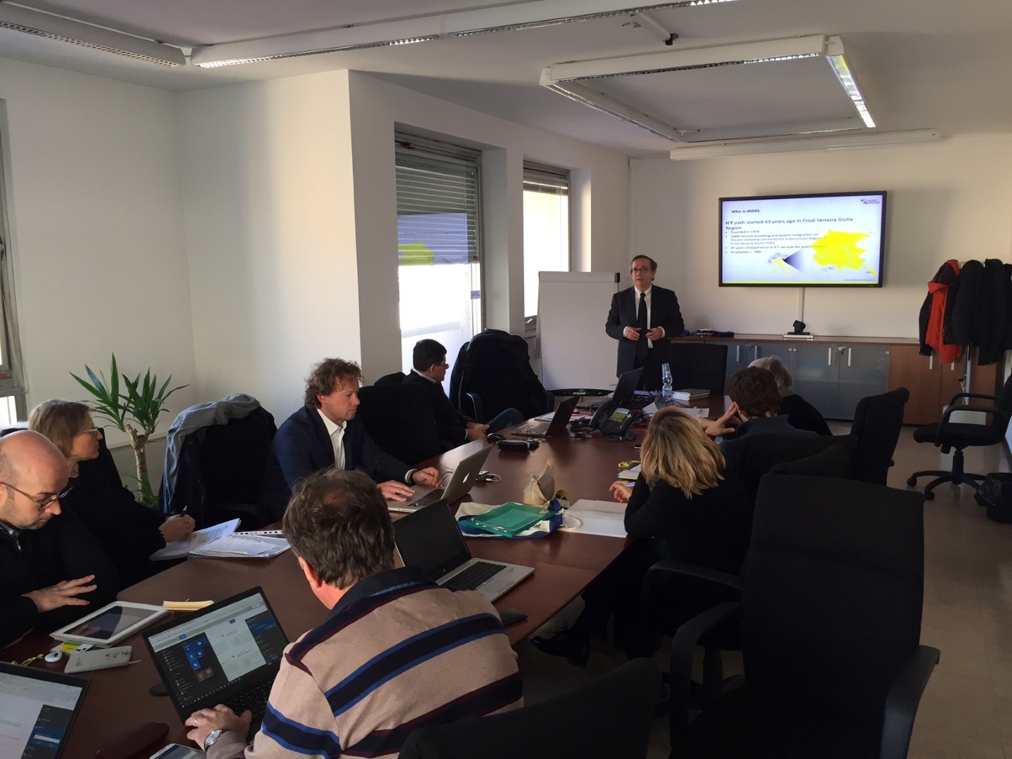
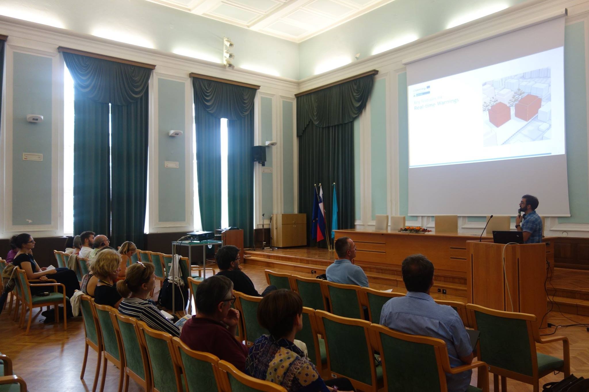
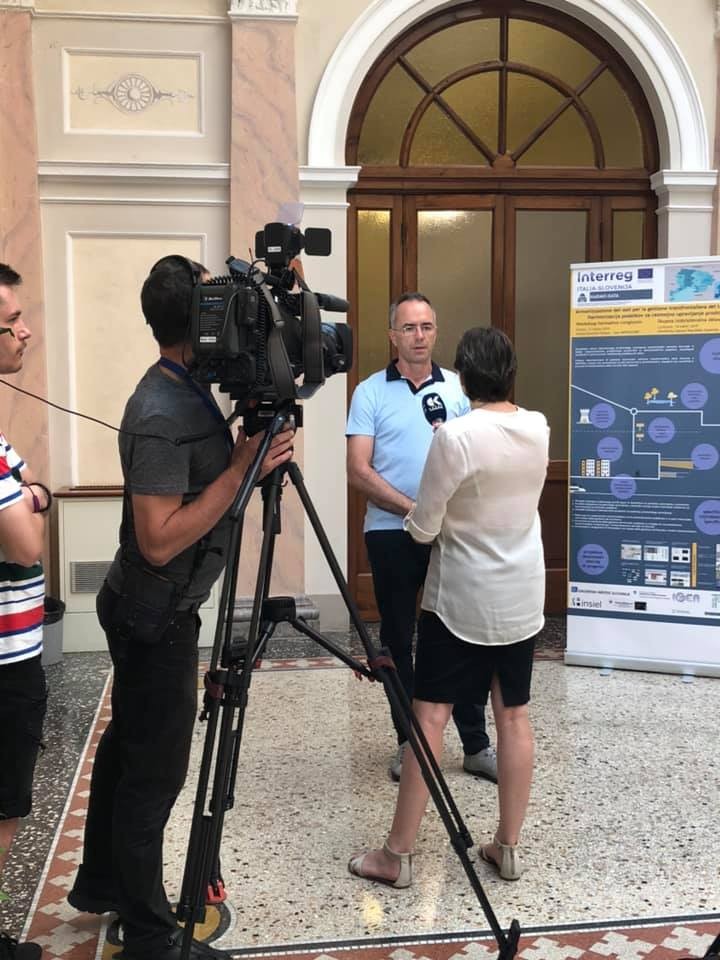
To support capacity building and cross-border spatial management, joint cross-border training and workshops will be organised on the Slovenian and Italian sides. They will include exchange of good practices and needs on spatial management, learning about data and metadata and the use of the Common Cross-Border Spatial Platform (CCBS), where solutions to spatial problems will be demonstrated using the CCBS. The workshops will include Spatial development policy planners, key stakeholders at different levels of spatial governance, students of studies related to environmental governance and management, professors and researchers in these fields.
One common challenge within the Project area was the non-harmonised territorial management system, which slowed down the acquisition of information for the purpose of proper land management by public institutions and local, regional and national authorities.
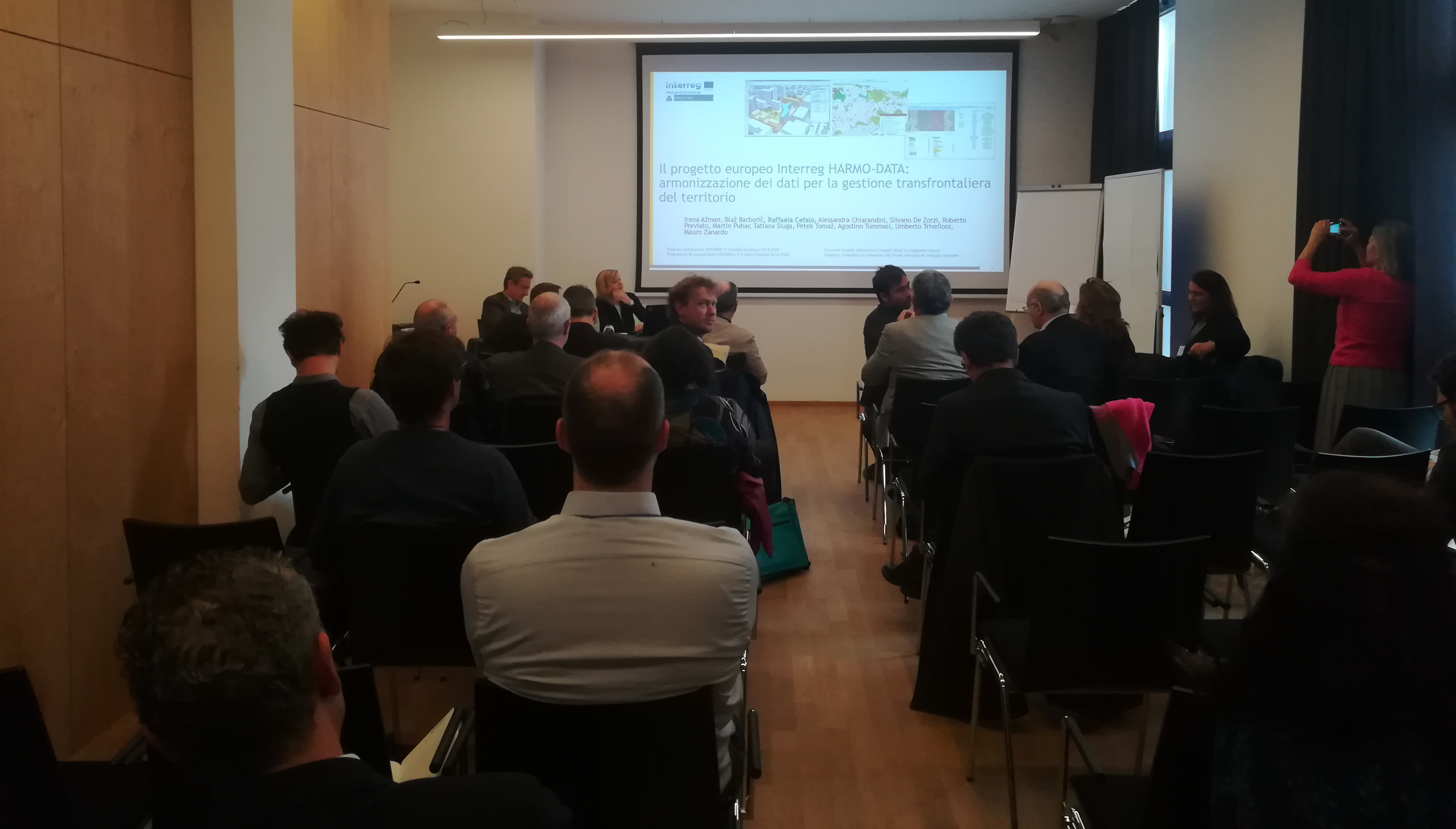
The overall objective was to improve the capacity for cross-border institutional cooperation between the public authorities and those responsible for territorial planning, by promoting the creation of joint system coordination and effective land management solutions. The objective was achieved with the development of a joint territorial management model, including a platform for the harmonisation of the territorial data, and a territorial management protocol signed by the competent authorities within the area. The project’s main outputs were the following: A protocol for the harmonisation of territorial data, a joint platform for the harmonisation of the territorial data, and beneficiaries involved in the land management training process. The target groups were the following: policy makers, national, regional and local authorities, companies, civil protection agencies and organisations dedicated to preventing environmental risks, protected areas, universities, and research centres. Through the consolidation of the relationships between the public authorities and the exchange of good practices among territorial managers, the cross-border approach provided for the coordination of policies, as well as an increase in knowledge for effective joint planning and the implementation of an integrated land management model. The creation of a territorial platform consistent with the INSPIRE directive represents an innovative solution in the area, where territorial management was not coordinated.
The selected municipalities were able to test its functionality, thus ensuring the model’s effective transfer for the future joint management of the cross-border area.
The improvement of cross-border institutional cooperation between public authorities and key territorial management operators in the border area, through the creation of new professional networks of cross-border cooperation between the Slovenian and Italian representatives from both state/regional institutions and the private sector. Territorial management can only function efficiently with good cross-border cooperation by all the parties involved, which was guaranteed by the complementary make up of the partnership. The project’s partners and associated partners guaranteed the presence of the main territorial process managers within the cross-border area. The improvement of the territorial planning management capacity of the public authorities and the main subjects of the border area, through the establishment of a new cross-border system that allow for verification throughout the entire territory, as well as for the exchange of data, information and good practices throughout the cross-border area. Through the harmonisation of the guaranteed cross-border territorial data, the public sector stakeholders are able to more quickly and easily access the territorial data collections necessary for carrying out their tasks, thus helping to overcome administrative burdens, while at the same time reducing the time required for each individual task. The project helped to increase cross-border cooperation between the program area’s citizens and institutions by establishing a unified territorial data management system that contribute to the achievement of the program’s objective, or rather the improvement of the public authorities’ and the stakeholders’ capacity for cooperation and cross-border territorial management.
Lead Partner

Project partner 1
Project partner 2

Project partner 3

Project partner 4

Project partner 5

| Poster evento annuale 30/05/2018 HARMO-DATA_ITA1.pdf ( 471 bytes, published on 12 June, 2018 - 10:04 ) | |
| ARMONIZZAZIONE DEI DATI TERRITORIALI / PROTOKOL ZA HARMONIZACIJO PROSTORSKIH PODATKOV R2. WP 3.1.1 PROTOKOL_PROTOCOLLO_signed.pdf ( 6 bytes, published on 30 June, 2020 - 10:55 ) | |
| DICHIARAZIONE D'INTENTI PER L’ARMONIZZAZIONE DEI DATI TERRITORIALI / IZJAVA O NAMERI ZA HARMONIZACIJO PROSTORSKIH PODATKOV R2. WP 3.1.1 DICHIARAZIONE D'INTENTI _IZJAVA O NAMERI_signed.pdf ( 6 bytes, published on 30 June, 2020 - 10:55 ) | |
| Analisi e Identificazione dei Dati Territoriali R1. WP 3.1.1. Analisi e Identificazione dei Dati Territoriali.pdf ( 1 byte, published on 11 December, 2020 - 06:23 ) | |
| CATALOGO BILINGUE DEGLI OGGETTI TERRITORIALI R1.WP 3.2.1 CATALOGO BILINGUE DEGLI OGGETTI TERRITORIALI.pdf ( 553 bytes, published on 11 December, 2020 - 10:36 ) | |
| COLLEGAMENTO GEOMETRICO DI OGGETTI TRANSFRONTALIERI R2.3.2.1_COLLEGAMENTO GEOMETRICO DI OGGETTI TRANSFRONTALIERI.pdf ( 1 byte, published on 11 December, 2020 - 11:46 ) | |
| Specifica dell'integrazione dei data model territoriali R3.WP3_.2.1 Specifica dell'integrazione dei data model territoriali.pdf ( 371 bytes, published on 15 December, 2020 - 06:49 ) | |
| SPECIFICA DELLA PIATTAFORMA PER I DATI TERITORIALI TRANSFRONTALIERI R4.WP 3.2.2 SPECIFICA DELLA PIATTAFORMA PER I DATI TERITORIALI TRANSFRONTALIERI.pdf ( 798 bytes, published on 15 December, 2020 - 15:06 ) | |
| Piattaforma spaziale transfrontaliera congiunta R5.WP 3.2.2 Piattaforma spaziale transfrontaliera congiunta.pdf ( 3 bytes, published on 17 December, 2020 - 08:18 ) |


The project’s main objective was to improve the capacity for institutional cooperation, with the mobilisation of the public authorities and key territorial planning operators, in order to create joint solutions aimed at harmonising the systems and more effectively managing the cross-border area, above all through a cross-border platform for the harmonisation of the territorial data.
Operation co-funded by the European Regional Development Fund